I love maps. I love trails. I love the West.
Why Kinesava Geographics?
I (Brandon Plewe aka Kinesava Geographics) have been hiking and making maps since I was a kid in Southern Utah in the 1980s. Don't make me choose which I like better.
I have been teaching cartography and geographic information systems since 1996. Kinesava Geographics was born in the early 1990s, mostly making custom street maps of cities in Utah (remember those maps in the back of telephone books?). For the past several years I have been volunteering for trail advocacy organizations on the Wasatch Front, and as requests for my trail maps have increased, I decided to take my company in this direction.
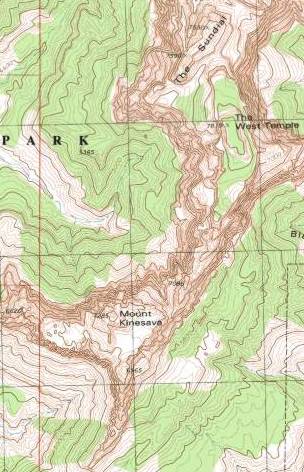
What does the name mean? Kinesava (four syllables: Kin-e-SAH-vuh) is the name of a mountain on the south flank of the West Temple, the mountain that dominates Zion National Park (Mount Kinesava is the bump on the right side of our logo). It is a very poor transliteration of a Southern Paiute word. Coyote (Cinawavi) was one of the creators, but was also a trickster who liked to do things like throw rocks off the cliffs of Mukuntawi ("Straight Canyon," now Zion National Park) on passersby below.
I don't condone such mischief, but I do love Zion more than anywhere else on Earth. The iconic silhouette of the West Temple and Mount Kinesava in our logo captures the spirit of that place (its genius loci, as we geographers call it).
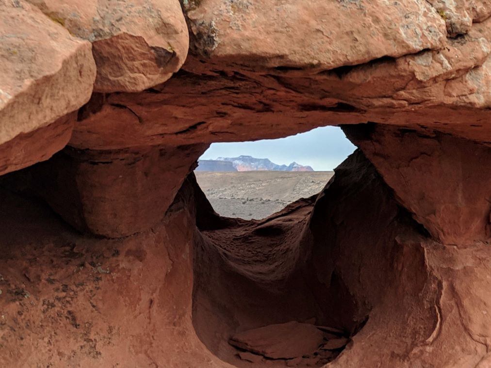
There's our logo playing peekaboo!